
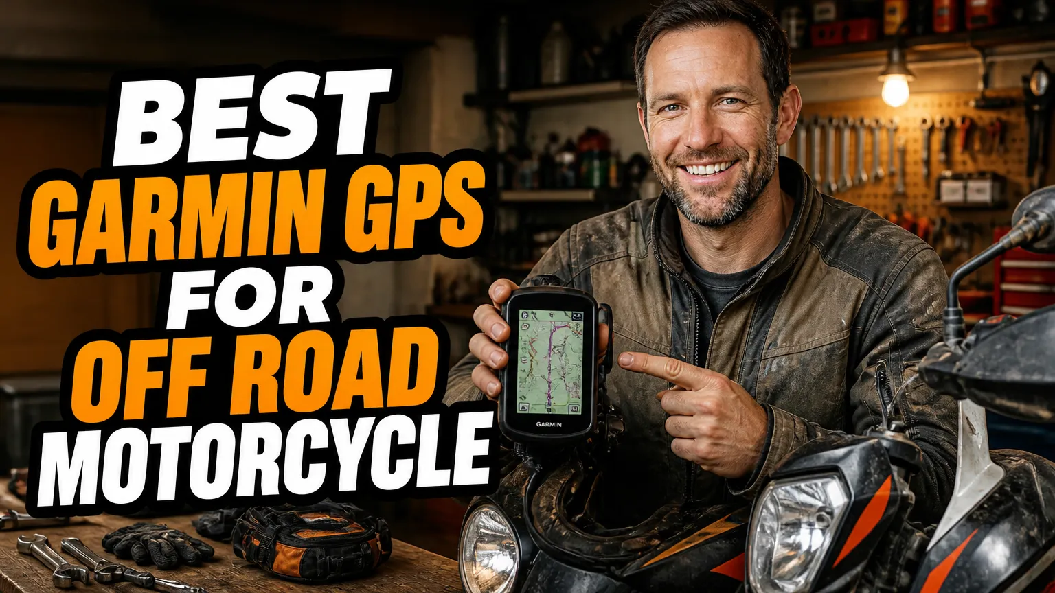
I have been riding dual-sports, lightweight adventure bikes and the occasional 450 enduro on backcountry routes for the better part of a decade. In that time I have drowned one GPS in a creek crossing, cracked a screen on a rock strike, and watched a cheap mount launch a unit into the sagebrush at 60 km/h. So when people ask me which Garmin to buy for off-road motorcycle riding, I do not answer with marketing copy. I answer with the units that survived my own abuse.
The short version: there is no single perfect device, because “off-road motorcycle” covers everything from a gravel-road ADV bike to a plated dirt bike doing single-track. What matters is screen readability in direct sun, glove-friendly controls, real trail map data, battery life away from the bike’s power, and whether you want satellite messaging when there is no cell signal.
- The Garmin zumo XT2 is my overall pick: a 6-inch glove-friendly screen, IPX7 sealing and proper track support.
- The Montana 700i and GPSMAP 67i add built-in inReach satellite messaging and SOS, which needs a paid subscription.
- The Garmin Tread is the only unit here designed from the ground up for off-road navigation, with topo maps and Trailforks data preloaded.
- Budget riders can still get real trail capability from the zumo XT or a eTrex 32x as a cheap backup.
- Whatever you buy, hard-wire a powered mount and tether the device. Mounts fail far more often than GPS units do.
What I Actually Look For in an Off-Road Motorcycle GPS
Before the list, here is the filter I use. Every unit below passed it, though some passed more comfortably than others.
Sunlight readability and glove use
I ride in bright high-desert light most of the year, and a dim screen is useless. I want a display I can read at a glance with tinted goggles on. I also want to be able to hit the right button wearing heavy winter gloves, which rules out a lot of consumer touchscreens.
Real map data, not just roads
Street maps alone will not show you a forest service road, a public land boundary or a washed-out two-track. I want TOPOActive maps, and ideally BirdsEye satellite imagery so I can see whether that “road” is actually a road. Loading GPX files from route-sharing sites is non-negotiable for me.
Power, sealing and mounting
IPX7 is the floor, not a bonus. I have crossed rivers deep enough to submerge a GPS, and I want the unit to keep working. Battery life matters too, because a loose charging cable mid-ride should not end your navigation.
1. Garmin zumo XT2 — My Overall Pick for Trail and Tarmac
If I could only own one Garmin for mixed on-road and off-road riding, the zumo XT2 is what I would buy with my own money. The 6-inch display is the brightest I have used on a motorcycle, and it stays readable when the sun is directly behind me, which is the harshest test there is.
It is IPX7 rated and built for glove use, and the operating range covers genuinely cold mornings. Garmin’s Adventurous Routing genuinely changed how I plan dirt-heavy days, because it deliberately favours curvy, less-travelled roads over the fastest line. I also get rider alerts for sharp curves and railway crossings, which has saved me more than once on unfamiliar gravel.
Where it wins for off-road riders
I load GPX tracks exported from route-planning tools straight onto the XT2, and it follows them as a track rather than trying to “snap” me onto a road. That behaviour is exactly what you want when a trail runs parallel to a highway. It also works with Garmin’s Group Ride Radio accessory if you ride in a pack.
Downsides: there is no satellite hardware inside, so no SOS and no messaging when you are out of cell range. If I am riding deep backcountry alone, I carry a separate inReach device or pick a different unit from this list. Expect to pay somewhere around the $600 mark.
2. Garmin Montana 700i — The Rugged Hybrid I Trust on Multi-Day Rides
The Montana 700i is the unit I reach for when a trip involves three days of mixed trail, gravel and highway. It is a 5-inch glove-friendly touchscreen in a body that meets MIL-STD-810 for shock, vibration, thermal and water resistance, plus IPX7 sealing. Mine has bounced down a rocky descent inside a tank bag and shrugged it off.
The headline feature is built-in inReach technology. That means two-way satellite messaging, location sharing and an interactive SOS trigger, all from the same device that navigates. When you are hours from pavement on a plated dirt bike, that is genuine peace of mind rather than a nice-to-have.
Maps, sensors and battery
It ships with preloaded TopoActive maps, and I add BirdsEye satellite imagery for the areas I ride most. There is a barometric altimeter and a three-axis compass, multi-GNSS support for better fixes in canyons, plus a microSD slot for extra map storage. Garmin rates it at up to 18 hours in normal GPS mode.
The catch is the subscription. inReach messaging and SOS require an active plan, so budget for that monthly cost. It is also a chunkier device than a dedicated motorcycle navigator, and on a small enduro the 5-inch screen can feel large. Around $700 before the subscription.
3. Garmin Tread — Built Specifically for Off-Road Navigation
The Garmin Tread is the only unit here that was designed from the start for off-road use rather than adapted to it. It runs a roughly 5.5-inch glove-friendly touchscreen with a rugged powered mount, and it comes with topographic maps, street maps and public land boundaries preloaded.
What sold me is the off-road data. Trailforks trail content is built in, so legal singletrack and trail networks show up alongside forest roads. BirdsEye satellite imagery lets me preview terrain before committing, and the Tread includes built-in inReach for satellite messaging and SOS.
Who it suits best
It is aimed at powersports riders broadly, so side-by-side and ATV owners use it heavily, but plenty of adventure and dual-sport riders mount one too. Group Ride Radio support means you can track and talk to companions without cell coverage, which is a huge deal on group rides in remote country.
The honest caveats: the interface is denser and less intuitive than the zumo line, and the trail-focused map layers can be overkill if you mostly ride gravel roads between towns. Pricing sits around $600, with inReach requiring a plan on top.
4. Garmin zumo XT — The Best Value Motorcycle GPS
The zumo XT is the previous-generation version of my top pick, and it remains the smartest value in this list. It has a 5.5-inch glove-friendly touchscreen, IPX7 sealing, up to 6 hours of internal battery, and the same Adventurous Routing logic that makes the XT2 so good on dirt-heavy days.
I still keep one mounted on my second bike. It follows GPX tracks reliably, pairs with my Bluetooth headset for turn prompts, and works with the Group Ride Radio accessory. Street maps for your region are preloaded, and I added TOPOActive maps for the trail work I do.
The trade-offs versus the XT2 are real but manageable: the screen is slightly smaller and noticeably dimmer in harsh light, and the older hardware feels slower when zooming in and out on a complex track. If you find one discounted, though, it is a lot of navigation for the money, often under $400 now.
5. Garmin Montana 750i — Same Toughness, Plus a Camera
The Montana 750i is the 700i with an 8-megapixel camera that geotags every shot. That sounds like a gimmick until you are trying to document a washed-out bridge or a confusing junction and want the exact coordinates attached to the image.
Everything else carries over: the 5-inch glove-friendly display, MIL-STD-810 toughness, IPX7 sealing, preloaded TopoActive maps, multi-GNSS positioning, barometric altimeter, three-axis compass and built-in inReach for satellite messaging and SOS. Battery life is again rated to about 18 hours in GPS mode.
Is the camera worth the premium?
For me, yes, because I no longer stop to dig a phone out of a jacket pocket with wet gloves. The image quality is fine for documentation and social posts, though it will not replace a real camera for anything serious. If you never photograph your rides, save the money and get the 700i instead.
Price sits around $800, and the inReach subscription applies here too. It is also, like its sibling, on the bulky side for a small enduro cockpit.
6. Garmin GPSMAP 67i — My Handheld Backup and Hiking Unit
The GPSMAP 67i is a button-operated handheld, not a motorcycle navigator, and that is exactly why I like having one. Physical buttons always work with gloves, in the rain, and with muddy hands. I keep mine in a tank bag or on a bar-mounted cradle for rides where the main unit might fail.
It has a 3-inch display, multi-band GNSS for faster and more accurate fixes under tree cover or in canyons, USB-C charging, and the same built-in inReach satellite messaging and SOS as the Montana line. Garmin rates battery life at up to 180 hours in 10-minute tracking mode, which is measured in days rather than hours.
Why riders should consider it
If your priority is emergency communication and reliable tracking rather than a big pretty map, this is the most dependable device in this article. It also doubles as a hiking and bikepacking GPS, so it earns its place in my kit outside of motorcycling.
What it is not: a comfortable primary navigation screen on a bike. The display is small for glance-down use at speed, and you will want a proper cradle. Around $600 plus a subscription.
7. Garmin zumo 396 LMT-S — The Budget-Friendly Option
If your budget is tight and your “off-road” is mostly graded gravel and forest service roads, the zumo 396 LMT-S is worth a look. It is a 4.3-inch motorcycle-specific unit, IPX7 sealed, with preloaded street maps, Bluetooth headset support and the same Adventurous Routing feature found on its bigger siblings.
I have used one on a light dual-sport for a season. It handled washboard gravel and dust without complaint, and it followed GPX tracks I imported, though it clearly prefers mapped roads to true trails.
Where it falls short off-road
It has no topographic maps preloaded, no satellite messaging, and no satellite imagery, so you are relying on street and road data plus whatever you load yourself. For technical trail riding I would not choose it. For budget-minded riders mixing pavement with easy dirt, it does the job for roughly $250 to $300.
8. Garmin eTrex 32x — Cheap Insurance in My Tank Bag
The eTrex 32x is the cheapest thing here that still does real trail navigation, and I keep one as a backup on long trips. It runs on two AA batteries for around 25 hours, which means I can carry spares and never worry about charging. AA power is genuinely liberating on remote routes.
It has a 2.2-inch button-operated screen, preloaded TopoActive maps, GPS and GLONASS positioning, a barometric altimeter, a three-axis compass and a microSD slot. It is IPX7 sealed and small enough to disappear in a pocket. The step-down eTrex 22x is even cheaper if you can live without the altimeter and compass.
The obvious limitations: a small screen, no touchscreen, no satellite communication and no turn-by-turn street navigation worth using. As a redundant track follower and a way to confirm your position when the main unit dies, though, it is excellent value at around $300 or less on sale.
Mounting and Power Notes From Someone Who Has Broken Both
No GPS survives a bad mount. I hard-wire a powered cradle to a switched 12V circuit so the unit charges while the engine runs and stops drawing when the bike is off. I use vibration-isolating hardware where I can, because single-cylinder bikes shake electronics to death.
I also tether every device with a lanyard, even on a locked cradle. I have watched a GPS pop out on a rocky descent, and the only reason it survived was a short piece of paracord. Pair your GPS with a proper dual-sport helmet and decent adventure tires and the whole off-road experience improves.
Do You Actually Need inReach?
This is the single biggest decision in this list, so I will be blunt about it. If you ride remote backcountry alone, built-in inReach on the Montana 700i, Montana 750i, Tread or GPSMAP 67i is worth the subscription. A satellite SOS button has no substitute when you are 40 km from the nearest paved road with a broken collarbone.
If you ride in groups, stay within cell coverage, or already carry a dedicated satellite communicator, the zumo XT2 and zumo XT save you the monthly fee and give you a better navigation interface. That is the trade I make most of the year.
My Final Verdict
For most off-road motorcyclists, I would buy the Garmin zumo XT2 and add a separate satellite communicator only if my riding genuinely takes me out of range. It has the best combination of screen quality, glove usability, sealing and track handling in this group.
If satellite messaging is the priority, the Montana 700i is the unit I trust most for multi-day mixed terrain, and the GPSMAP 67i is the one I would grab if reliability mattered more than screen size. If you want purpose-built off-road map data with topo layers and Trailforks, the Garmin Tread is the specialist.
And if you are on a budget, the zumo XT is still superb value, with the eTrex 32x as cheap insurance in the tank bag. Whichever you choose, plan your tracks in advance, load them as GPX files, and always carry a paper backup of your route. Electronics fail. Preparation does not.
Frequently Asked Questions
What is the best Garmin GPS for off-road motorcycle riding?
In my experience the Garmin zumo XT2 is the best all-rounder for trail and street riding, while the Montana 700i wins if you want built-in inReach satellite messaging and a tougher, more handheld-style body.
Do I really need an inReach subscription with a Garmin GPS?
Yes, if you buy a device with inReach built in, like the Montana 700i, Tread or GPSMAP 67i, you need an active subscription to send messages or trigger an SOS. The zumo XT and zumo XT2 have no satellite hardware at all, so they work with no monthly fee.
Can a street-focused Garmin like the zumo XT handle dirt roads?
It can, as long as you load GPX tracks and add TOPOActive maps. The zumo XT and zumo XT2 are IPX7 and glove-friendly, so dust and creek crossings are fine. They simply lack the preloaded topo detail and satellite imagery that the Tread and Montana lines ship with.
How do I mount a Garmin GPS on a dirt bike?
I use a powered AMPS-pattern mount bolted to a bar clamp or a vibration-isolated RAM arm. Hard-wire the cradle to a switched 12V circuit so the unit charges while you ride, and always tether the device with a lanyard as a backup.

Related Articles
6 Best Motorcycle Phone Mounts That Keep Your Phone Charged on the Road
Compare six dependable motorcycle phone mounts with wireless or USB charging, including fit, power wiring, vibration protection, weather resistance, and…
 Jake Miller
10 min read
Jake Miller
10 min read
5 Best Motorcycle Phone Mounts for Naked Bikes and Open-Cockpit Riding
I compare secure, vibration-conscious phone mounts for naked and touring bikes, with fit notes, real trade-offs, and setup tips for…
Jake Miller
11 min read

7 Best Phone Mounts for Sport Bikes: Secure, Vibration-Smart Picks
Compare secure phone mounts for sport bikes, including clip-on fit, vibration control, case systems, prices, and my practical picks for…
Jake Miller
12 min read