
8 Best iPhone Motorcycle Navigation Apps for Curvy Roads and Touring
 Jake Miller
12 min read
Jake Miller
12 min read
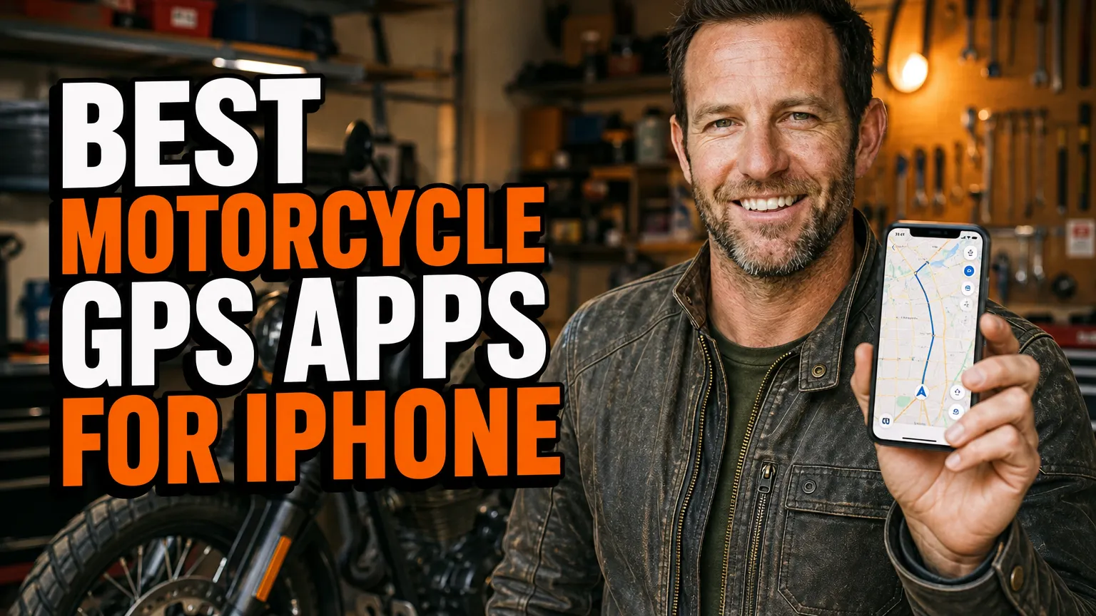
I like using my iPhone for motorcycle navigation because it can handle route planning, GPX files, live traffic, and roadside stops in one place. The catch is that not every navigation app understands what makes a good ride: a quick highway route may be efficient, but it is rarely the road I’m hoping to find on a day out.
I’ve narrowed my choices to apps that offer practical value for riders, whether I’m chasing curves, following a planned touring route, or simply navigating across town. Features and subscription terms can change, so I always check current app details before a big trip.
- I’d choose Scenic, calimoto, or Kurviger when finding enjoyable, winding roads is the priority.
- For remote trips, I download offline maps and routes before I leave reliable cell coverage.
- REVER is useful for discovering and recording rides, while OsmAnd gives me detailed offline mapping tools.
- Google Maps and Apple Maps are convenient everyday backups, but they aren’t dedicated motorcycle route planners.
1. Scenic Motorcycle Navigation — Best for a dedicated riding-focused experience
When I want an app designed around motorcycle navigation rather than general driving, Scenic is one of my first places to look. It combines route planning, turn-by-turn guidance, and rider-oriented options, which makes it a strong choice for day rides and longer tours alike.
Why I’d use it
I like being able to build a route around the ride itself instead of accepting the fastest line from A to B. Scenic offers features such as curvy-road routing, route planning, and GPX import or export, with offline navigation available through the app’s mapping options. Depending on the feature and plan, some tools may require a purchase or subscription.
For a ride that leaves cell coverage, I would download the relevant maps and route before setting off. I’d also check whether the version I’m using supports my preferred display setup, including CarPlay if I plan to use it, because availability and feature access can vary.
What I keep in mind
A route that looks appealing on a screen can still include rough pavement, seasonal closures, or roads that aren’t suitable for my bike. I review the route before riding and treat the app’s winding-road suggestions as a starting point, not a guarantee that every turn will be a gem.
If I’m comparing dedicated devices as well as apps, I’d also browse this guide to the best gps for adventure motorcycle touring before choosing my setup.
2. calimoto Motorcycle Navigation — Best for finding curvy roads
Calimoto is built around the idea that a motorcycle trip can be about the route, not just the destination. I find its winding-road planning especially appealing when I have a free afternoon and want to explore without drawing every turn by hand.
Route planning and navigation
In calimoto, I can plan a trip with a preference for more or fewer curves, then use turn-by-turn guidance to follow it. The app also supports route recording and trip planning features, making it useful when I want to save a ride or revisit a route later. Some features, including offline maps or expanded navigation tools, may depend on the current membership or purchase options.
Before a long ride, I check the route closely rather than assuming “curvy” automatically means scenic, smooth, or open. I also download any available offline maps in advance and make sure I understand how the app behaves if I lose data coverage.
My take
Calimoto suits riders who enjoy spontaneous back-road exploration and want an app to help shape a ride. I wouldn’t use its route suggestions without a quick sanity check, especially if I’m riding a large touring bike, traveling with a group, or heading into unfamiliar terrain.
3. REVER Motorcycle GPS & Ride Tracker — Best for logging and discovering rides
REVER is a good fit for me when I want navigation and ride tracking in the same app. It can record trips and help me find routes shared by other riders, so it has a social and discovery angle alongside its mapping tools.
Where it fits in my toolkit
I use route-sharing apps as inspiration: I can find a ride in an area I don’t know, inspect the details, and decide whether it suits my plans. REVER also supports GPX-related route workflows, which is handy when I want to move a planned track between tools rather than recreate it from scratch.
Depending on the features I need, I may have to check REVER’s current paid options for offline maps or enhanced navigation. I don’t count on a route being available offline just because I’ve viewed it once, so I confirm that the map data and ride are saved before I head out.
What I’d use it for
I see REVER as particularly useful for keeping a record of where I’ve been and discovering rides other motorcyclists recommend. For precise turn-by-turn guidance on a complex trip, I review the route carefully and consider using a dedicated navigation app alongside the ride log.
4. Kurviger Motorcycle Navigation — Best for shaping a custom twisty route
Kurviger appeals to me when I want more control over how a route is calculated. Rather than treating the quickest route as the only sensible option, I can look for winding roads and adjust the plan to suit the kind of ride I have in mind.
Planning with more control
I find Kurviger useful for planning a route with multiple stops, shaping a loop, or working with a GPX track. Its motorcycle-focused routing makes it easier to aim for interesting roads, while its planning tools can help me think through a longer ride before I’m sitting on the bike.
Some capabilities, including offline use or advanced navigation options, may be linked to a paid plan. I check the current iPhone app listing and subscription details before relying on a specific feature, especially if I need turn-by-turn guidance or downloaded maps away from cell service.
My riding perspective
Kurviger is most valuable to me when I’m involved in the planning and want to fine-tune the result. I still check road conditions, fuel stops, and the suitability of smaller roads independently; a clever route planner can’t know every local condition or my comfort level on a particular day.
5. OsmAnd Maps & Navigation — Best for detailed offline mapping
When I’m concerned about losing cell coverage, OsmAnd is an app I consider for its offline mapping capabilities. It uses downloadable map data, which makes it useful for planning and navigating in areas where I don’t want my trip to depend on a live data connection.
Why offline maps matter to me
I can download maps in advance, inspect roads, and work with saved locations and GPX tracks. That makes OsmAnd a versatile option for touring, exploring rural areas, and keeping a map available when mobile service is patchy. The exact tools and download limits can depend on the app’s current version and purchase options.
OsmAnd’s depth can also make it feel less straightforward than a simple turn-by-turn app. I take time to learn its settings at home, download the right map regions, and confirm that my route or track is stored properly before leaving.
Where I’d choose another app
If I want a quick, polished route to a restaurant, I may prefer a simpler navigation experience. But if I value map detail and offline access, OsmAnd gives me useful flexibility. I treat it as a powerful tool that rewards preparation rather than as something I want to learn while rolling down the road.
Riders comparing phone-based navigation with dedicated units can also look at the tomtom rider 550 best gps for adventure motorcycle riding and consider how a standalone device fits their needs.
6. Google Maps — Best for everyday directions and finding stops
I keep Google Maps in the mix because it is convenient for everyday navigation. It’s easy to look up a fuel station, hotel, café, or repair shop, and its traffic information can help me understand what’s happening on major roads.
Where it works well
For straightforward point-to-point directions, Google Maps is familiar and easy to use. I can also save places and check business details, which is helpful when I’m planning a fuel stop or searching for somewhere to eat during a tour.
What I don’t expect is motorcycle-specific route planning. Google Maps generally aims to get me to a destination, not necessarily to find a satisfying sequence of curves. Offline map downloads are available for selected areas, but I check coverage and limitations in advance rather than assuming every feature will work without service.
How I use it on a ride
I often think of Google Maps as a practical everyday navigator or backup, not my first choice for a route built around riding enjoyment. If I’ve planned a twisty route in another app, I avoid casually switching destinations mid-ride in a way that might replace it with a faster, less interesting route.
7. Apple Maps — Best for a simple iPhone and CarPlay setup
Apple Maps is a natural option when I want navigation already integrated into my iPhone. Its interface is familiar, and it can be convenient in a car or on a compatible CarPlay display, especially when I’m following ordinary road directions rather than designing a motorcycle tour.
My everyday use case
I use Apple Maps to reach a destination, check arrival estimates, or look for places along the way. It can be a straightforward choice for riders who value a clean interface and already use Apple’s ecosystem for contacts, calendars, and navigation.
For motorcycle-specific route planning, though, it has limitations. I don’t rely on it to seek out winding roads or handle detailed GPX route planning in the way a dedicated riding app may. Offline map features and availability can vary by region and software version, so I check what’s supported on my device.
Why it can still be useful
I like having a familiar backup available if another app has trouble or I simply need to navigate to a nearby address. For more demanding trips, I’d pair it with a route planner and download any necessary information ahead of time rather than making it my sole navigation plan.
8. Waze Navigation & Live Traffic — Best for traffic-aware road travel
Waze is primarily a traffic and driving navigation app, rather than a motorcycle route planner, but I can see its value for riders crossing busy urban areas or trying to understand delays on main roads. Its community-reported traffic information can help me make a more informed choice about congestion.
When I’d open Waze
If traffic is the main problem, Waze can provide useful live guidance and alerts along a route. I may use it to navigate through a city or get to a meeting point, especially when traffic conditions are changing quickly.
I don’t choose Waze when I’m trying to plan a scenic ride or follow a carefully designed GPX track. Its routing priorities are aimed at getting drivers to a destination, and a traffic-avoiding shortcut may not be the road I want on a motorcycle. I also check current offline capabilities rather than counting on live traffic features without a connection.
My bottom line
I treat Waze as a situational tool, not a complete motorcycle navigation solution. It can be handy for traffic, but I’d use a motorcycle-focused app for route discovery and keep a separate offline option ready for a longer or more remote trip.
How I choose an iPhone navigation app for a ride
Start with the kind of route I want
For a back-road day ride, I’d start with Scenic, calimoto, or Kurviger and compare how each handles curvy-road preferences and route editing. For a simple trip across town, Google Maps or Apple Maps may be all I need. I match the app to the ride instead of expecting one option to be perfect at everything.
Plan for weak cell coverage
Before a tour, I download offline maps where the app supports them and save the route or GPX file. I also check that the downloads cover the entire ride, not just the starting point, and that I can open them in airplane mode or with mobile data switched off.
For riders planning a much longer journey, I’d read about the best gps for round the world on motorcycle and think carefully about redundancy, charging, and navigation outside familiar service areas.
Make the phone setup reliable
I use a secure mount, keep charging in mind, and protect my iPhone from vibration, weather, and direct sun as appropriate for my setup. I avoid entering destinations or adjusting complicated settings while moving; if I need to change a route, I pull over somewhere safe first.
Finally, I carry a backup plan for trips where getting lost would be more than a minor inconvenience. That might mean an offline map in a second app, a saved GPX file, or a dedicated GPS unit. Riders with a specific bike in mind can also compare options in this guide to the best motorcycle gps for bmw r1200gsa or explore the best garmin gps for motorcycle.
My final picks
If I want help finding enjoyable curves, I’d begin with Scenic, calimoto, or Kurviger and see which route-planning style suits me best. For detailed offline maps, OsmAnd is worth a close look, while REVER stands out when I want to record rides and discover routes shared by others.
I still keep Google Maps or Apple Maps available for simple directions and useful stops, and Waze can help when traffic is the main concern. Whatever app I choose, I download what I need, review the route before riding, and make sure navigation supports the ride rather than distracting me from it.
Frequently Asked Questions
Which iPhone app is best for motorcycle routes with lots of curves?
I’d start with Scenic, calimoto, or Kurviger because each offers motorcycle-focused route planning with options for finding twistier roads.
Can I use an iPhone motorcycle GPS app without cell service?
Yes, if you download offline maps or routes in advance. I check the app’s offline features and download coverage before leaving service.
Do motorcycle GPS apps work with Apple CarPlay?
Some do, but CarPlay support and available features can depend on the app and subscription. I confirm compatibility before relying on it.
Is a phone app enough for a long motorcycle tour?
It can be, but I bring offline maps, a secure weather-resistant mount, charging, and a backup navigation option for remote or demanding trips.

Related Articles
6 Best Motorcycle Phone Mounts That Keep Your Phone Charged on the Road
Compare six dependable motorcycle phone mounts with wireless or USB charging, including fit, power wiring, vibration protection, weather resistance, and…
Jake Miller
10 min read

5 Best Motorcycle Phone Mounts for Naked Bikes and Open-Cockpit Riding
I compare secure, vibration-conscious phone mounts for naked and touring bikes, with fit notes, real trade-offs, and setup tips for…
Jake Miller
11 min read

7 Best Phone Mounts for Sport Bikes: Secure, Vibration-Smart Picks
Compare secure phone mounts for sport bikes, including clip-on fit, vibration control, case systems, prices, and my practical picks for…
Jake Miller
12 min read